Friday, March 11, 2011

Northern Arizona

We went to Petrified Forest in a gale--no rain, just constant wind 35-50 miles an hour with gusts to 68.  Sand flying around so bad that it obscured the views.  We need a very thorough shower, even had to get the sand out of our ears.  We wanted to hike, but we nearly got blown off a ridge, hanging onto each other.  Wind aside, this is an eerie place with the strange formations of soft sandstone, and then there are those logs scattered around.  They look like they have been sawn into lengths—how can that be?  The answer is that the logs have petrified into rock that crystallizes in 90 degree fractures—hence the straight cuts.
The Petrified Forest Inn is a delightful, old adobe building that is now a museum in the park.

Grand Canyon is everything you would expect from the biggest, most famous canyon in the world.  I thought we came to the south to escape winter, but driving into Grand Canyon National Park we met a snowplow and had to watch out for the snowy patches on the road.
We hiked a bit, but the Bright Angel trail had so much packed snow, they were requiring ice crampons on your boots.  So we stuck to the Rim Trail. 
The canyon is nearly a mile deep and 10 miles across to the north rim.  I don’t think we will get over there—the road is closed in the winter.  The higher elevation means enough moisture for pinions and other trees. 
We came upon a whole herd of elk along one trail.  There were mule deer in the campground, but I did not get a picture of them.


Driving west, we left I 40 for a while to drive a bit of Route 66, the mother road.  We had a delightful time in Seligman, AZ looking at the old cars and kitschy shops.  We had a hamburger and chocolate malt (not a shake) at the Snow Cone stand and bought cheap Route 66 shirts.  Just a lot of fun.  It reminded us of Uncle Jerry who Don was so close to.  Don and Jerry used to kid about Route 66.  Jerry would have loved this place.

Sunday, March 6, 2011

Sedona, Arizona

The drive from Phoenix to the Sedona area was 115 miles, a good portion of it mountains.  Before the accident, I don’t think this stretch of I 17 would have bothered us, but we were just a bit tense now.  There is still snow on the north sides of the mountains from the storms a week or two ago.
Montezuma’s Castle and Well never had anything to do with the great ancient Aztec leader in Mexico, but apparently some early explorers thought these cliff dwellings were connected somehow.  Imagine the Sinagua Indians building and living in these walled-in caves on the sandstone cliffs. 
Montezuma’s well is a spring pouring 1.5 million gallons of 74 degree water a day from a deep sinkhole on a plateau.  The water then runs from the pool underground to emerge on the hillside into an irrigation ditch the Sinagua built to water their crops.   It is a sacred place to the Hopi, the people who probably absorbed the Sinagua when they abandoned this area.  It’s a truly serene, beautiful place.

We stayed several nights at Western Horizons, another Camp Club USA park, where we played shuffleboard one evening during a sunset in the round.  I don’t think I have ever seen a sunset go 360 degrees all the way around the horizon.  It was phenomenal.

We camped the rest of our Sedona time at Dead Horse Ranch State Park where we had five miles of road to bike.  Tuzigoot is another Sinagua site, this one a hilltop complex of 86 rooms overlooking a rare Arizona marsh where the Indians probably found rich food and products for living.

Jerome is a mining ghost town come back to life.  It is perched high on the mountainside with every street a switchback from the previous block. 
This mine shaft is 1900 feet deep. 

We have said to each other that the desert has its magical beauty, but we would not want to live in it.  I could live in Sedona though.  The higher elevation (4400 feet and up from there) and more rainfall mean trees can grow—real forests of them.  I am in heaven.  The red rocks are amazing.  We did a 2 ½ mile hike that nearly did me in.  But it was gorgeous with the blue agave and evergreens set against the red spires and blocks of stone. 
After this, I think those trails in the Kettle Moraine that Don said were too rocky will be a piece of cake.  This formation is called Cibola, the mitten in Spanish.
Oak Creek Canyon is a drive north of Sedona that rises above 6000 feet.  The switchbacks to get to the Mogollan Rim, the top of the canyon, were . . . invigorating.

I bought a turquoise ring from one of the Hopi sellers at the top.

Bell Rock proved too much for Don.  I lost the trail on the rock, but found my way back down the solid rock layers.  If you click on this picture, you will see little things up there that are people.  I did not make it all the way up.
We had some quiet prayer time in the Chapel of the Holy Cross on the mountainside. 

In case anyone wonders about our safety driving after our accident and new rig, let me tell you about our drive today.  We drove north from Sedona and then west on I 40.  The trees of the Flagstaff area mountains gave way to wide-open flat desert.  I could feel the wind as I drove and saw the few bushes blowing.  I watched the camper carefully—no sway.  When we stopped near Meteor Crater and stepped out of the truck, the wind hit us like a gale.  Unbelievable wind—but the truck handled the camper just fine. 
Meteor Crater is a hole in the ground from a long ago meteorite 150 feet across weighing several hundred thousand tons.  It blasted 175 million tons of sandstone up to a mile away.  The crater is nearly a mile across and 550 feet deep.  Just amazing.
The biggest meteorite fragment they found weighs 1400 pounds.
 Another Arizona sunset

Sunday, February 27, 2011

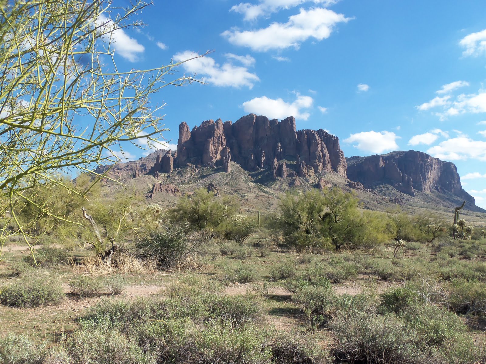
The Superstitions near Phoenix

We are camped at Mesa Regal RV Resort—quite the luxurious place, and huge--2000 sites, crowded close, but it has four pools and every activity you can imagine.  This is how the other half of snowbirds live—swimming, happy hour with neighbors, biking around the park, zumba, Bible study, even a concert by Jimmy Fortune of the Statler Brothers.  There is a grapefruit tree at every site.  We are relaxing for nearly a week here while we wait for the snow to melt in Flagstaff.  We want to start north, but it is still winter there.  We are staying here half price with Camp Club USA that we joined in fall.  We rode the tandem bike to church and the concert because the hall was on 4th Street and we camped on 20th, all within the park.

The Superstition Mountains loom over Apache Junction, stark and steep.  We hiked at Lost Dutchman Mine State Park, but did not find the fabled lost gold mine.  Another fabulous hike and another amazing feat for Don to handle the rough terrain.


We drove part of the Apache Trail up into the Superstitions, with hairpin curves, drop-offs and hills.  Canyon Lake is one of several reservoirs on the Salt River that used to water crops for native people centuries ago.  We had great chili at Tortilla Flat—an old mountain stagecoach stop, now with a population of six, but lines of tourists enjoying the drive and the prickly pear ice cream.
I don’t know how these campers got up here—I sure would not drive a trailer up this road.


Queen Creek Olive Mill has great Italian deli food, but we spent way too much on olives, olive oil and tapenades.
At Lost Dutchman Days in Apache Junction, the midway shines below the Superstitions.
The festival featured a rodeo—a first for us.  We enjoyed every event. 
Bareback broncos
Calf roping

Saddle broncos
Bull-riding:  I cringed a few times when the bulls threw riders and seemed to charge them on the ground.  I agreed with the announcer when he commented on the necessity of wearing a helmet to protect the skull that protects the brain that actually advised, “go ride on a bull.”